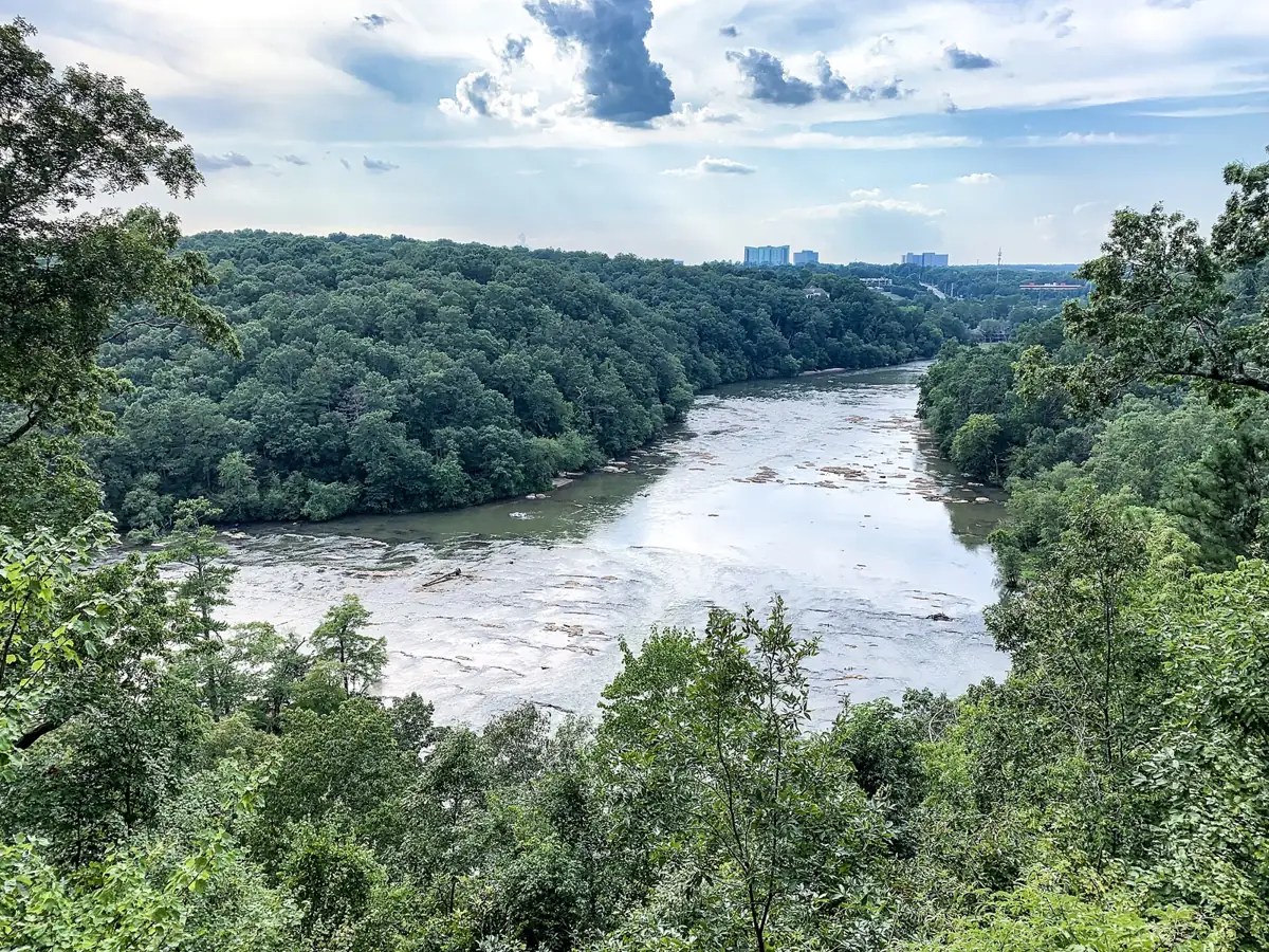
Sandy Springs trails: the paved 1.88-mile Springway, East Palisades' 3.4 miles of river overlooks, Island Ford, Powers Island and where to park for each.
Last checked Oct. 5, 2026. Distances, rules and parking come from the City of Sandy Springs and the National Park Service, linked below.
Sandy Springs runs along the Chattahoochee River, and most of its best walking is beside it, in three units of the Chattahoochee River National Recreation Area and at Morgan Falls. For a paved ride, the Springway Trail is the city’s first trail-network segment.
Who to call
- City trails and parks: Sandy Springs Recreation and Parks, recreation@sandyspringsga.gov; city call center 770-730-5600 (24 hours)
- River trails, non-emergency: National Park Service, 770-992-6585
- Emergency: 911
At a glance
| Trail | Distance | Surface and use | Start or parking |
|---|---|---|---|
| Springway Trail | 1.88 miles one way | Paved; walk, bike, small e-devices | Morgan Falls Dog Park, 100 Morgan Falls Road |
| East Palisades | 3.4 miles | Dirt; overlooks, mill ruins, bamboo forest | 1425 Indian Trail ($5 NPS pass) |
| Island Ford | About 3 miles | Dirt; along the river, rock overhangs | 8850 Roberts Drive ($5 NPS pass) |
| Powers Island | 2.5-mile loop | Dirt; island, inlet and riverbank | 5450 Interstate North Parkway ($5 NPS pass) |
| Crooked Creek Park | 1-mile loop | Earthen; walkers only | 3100 River Exchange Drive |
| Morgan Falls Overlook Park | 2/3 mile | Woodland trail | 400 Morgan Falls Road |
| Big Trees Forest Preserve | Nature trails, 31 acres | Dirt | 7645 Roswell Road |
Paved: the Springway
The Springway Trail connects Morgan Falls Overlook Park to Roswell Road at Cimarron Parkway in a 1.88-mile segment that opened in May 2025, the first piece of the city’s Trail Master Plan. It is open dawn to dusk. Rules: stay right and pass on the left; no gas vehicles or golf carts, only small low-speed electric devices; helmets for bikes and skates; pets on a short leash on the right shoulder; no fishing from the boardwalk; no swimming in the lake; do not feed the ducks and geese. Park at the Morgan Falls Dog Park, 100 Morgan Falls Road. Source: the city’s Springway page, which also links the full trail network map (PDF).
River trails
The National Park Service charges a $5 standard pass or a $40 annual pass to park (fees page). Park lands are open dawn to dusk, and pets must be on a leash of 6 feet or shorter (hours, pets).
East Palisades, 1425 Indian Trail. One of the most scenic stretches of the river in metro Atlanta, the city says: a 3.4-mile trail past high overlooks, the ruins of an old mill and a bamboo forest. Trail map: East Palisades map (PDF). Source: the city’s East Palisades page.
Island Ford, 8850 Roberts Drive. About 3 miles of trail along the river, past large rock overhangs where prehistoric people sheltered. The visitor center is in Hewlett Lodge, a 1930s summer home built of timber from near the Okefenokee Swamp and stone from Stone Mountain, open daily 9 a.m. to 5 p.m. except Thanksgiving Day and Dec. 25. Source: the city’s Island Ford page.
Powers Island, 5450 Interstate North Parkway. A quieter 2.5-mile loop over an island, an inlet and the riverbank. Trail map: Powers Island map (PDF). Source: the city’s Powers Island page.
City parks and preserves
- Crooked Creek Park, 3100 River Exchange Drive, in the city’s panhandle: a 1-mile earthen loop through wetlands and forest with a river view at the north end. Walkers only, no bikes, no restrooms (city page).
- Morgan Falls Overlook Park, 400 Morgan Falls Road: a 2/3-mile woodland trail plus river views, open until 10 p.m.
- Big Trees Forest Preserve, 7645 Roswell Road: a 31-acre plant and wildlife sanctuary with nature trails and restrooms, steps from Roswell Road (city page).
- Abernathy Greenway, 70 Abernathy Road: a 6.6-acre linear park.
More parks in our parks and trails guide.
Coming: Path 400 and new side paths
- Path 400 extension. The city is extending the existing 5.1-mile Path 400 trail from Loridans Drive north to the Georgia 400 and I-285 interchange, mostly inside GDOT right of way. Segments 1 and 3 are under construction and expected to finish in early 2028; Segment 2, awarded to F.S. Scarbrough for $15,758,413, is expected to start in fall 2026 and take about three years (project page).
- Peachtree Dunwoody Road side path. A 12-foot bike and pedestrian path on the west side of Peachtree Dunwoody Road between Hammond Drive and Mount Vernon Highway is in design with the Perimeter Community Improvement District (project page).
Frequently asked questions
Where can I bike in Sandy Springs? The Springway Trail, a paved 1.88-mile path from Morgan Falls Overlook Park to Roswell Road at Cimarron Parkway, is open to bikes and small low-speed electric devices from dawn to dusk. Crooked Creek Park’s trail is walkers only.
How long is the East Palisades trail? The city lists the East Palisades trail at 3.4 miles, past high overlooks, old mill ruins and a bamboo forest. The trailhead is at 1425 Indian Trail, and parking needs a $5 National Park Service pass.
Where do I park for the Springway Trail? The city says to park at the Morgan Falls Dog Park, 100 Morgan Falls Road.
Is PATH400 coming to Sandy Springs? Yes. The city is extending the 5.1-mile Path 400 trail from Loridans Drive north to the Georgia 400 and I-285 interchange. Segments 1 and 3 are under construction for early 2028, and Segment 2 is expected to start in fall 2026.
What this means for you
- Bring $5 or an annual pass for the national recreation area lots.
- Bikes go on the Springway, not on Crooked Creek’s walking loop.
- River trails close at dusk; plan your start time.
Related: dog-friendly Sandy Springs, free things to do and getting around.
Have your say